
- The base layer of the maps is from Google. These are already highly accurate and detailed. Standard, out of the box Google supplies thee different styles, normal, satelite and Terrain. Additionally we’ve added the aviation style which is modelled by the ICAO mapping standard. The Googlemaps engine automaticlly caches the map you have visited which makes these areas available offline as well.
- Within the USA the FAA makes all there avaition charts availble for online mapping apps via chartbundle. These are also made available within the app and are also cached for offline viewing, but can also be downloaded for real offline use..
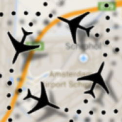
- Skylines makes available a mapping layer with airspaces which has worldwide coverage.
- For weather overlays we use both mapping sources from openweathermaps and the canadian weather bureau.


