
We use aviation data from serveral different sources:
- Our Airports
- OpenAip
- Soaring Web
- OpenFlightMaps
- AviationWeather
- PilotWeb
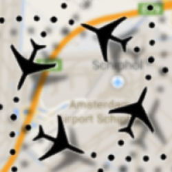
- OpenStreetMaps
- Deutsche Flugsicherung
- OpenWeatherMaps
- Goverment of Canada
- ChartBundle
- Skylines
Most of these are used within the app as online services for mapping, aviation information (notams) and weather data. The Aviation database used is compiled from the top four sources. We try to create an update of this database every month which can be downloaded via the menu “Update Database” on the startup screen. The available version is checked against the version installed and the new databases are downloaded when necessary.